Lieu photo à Tenerife
Teide National Park
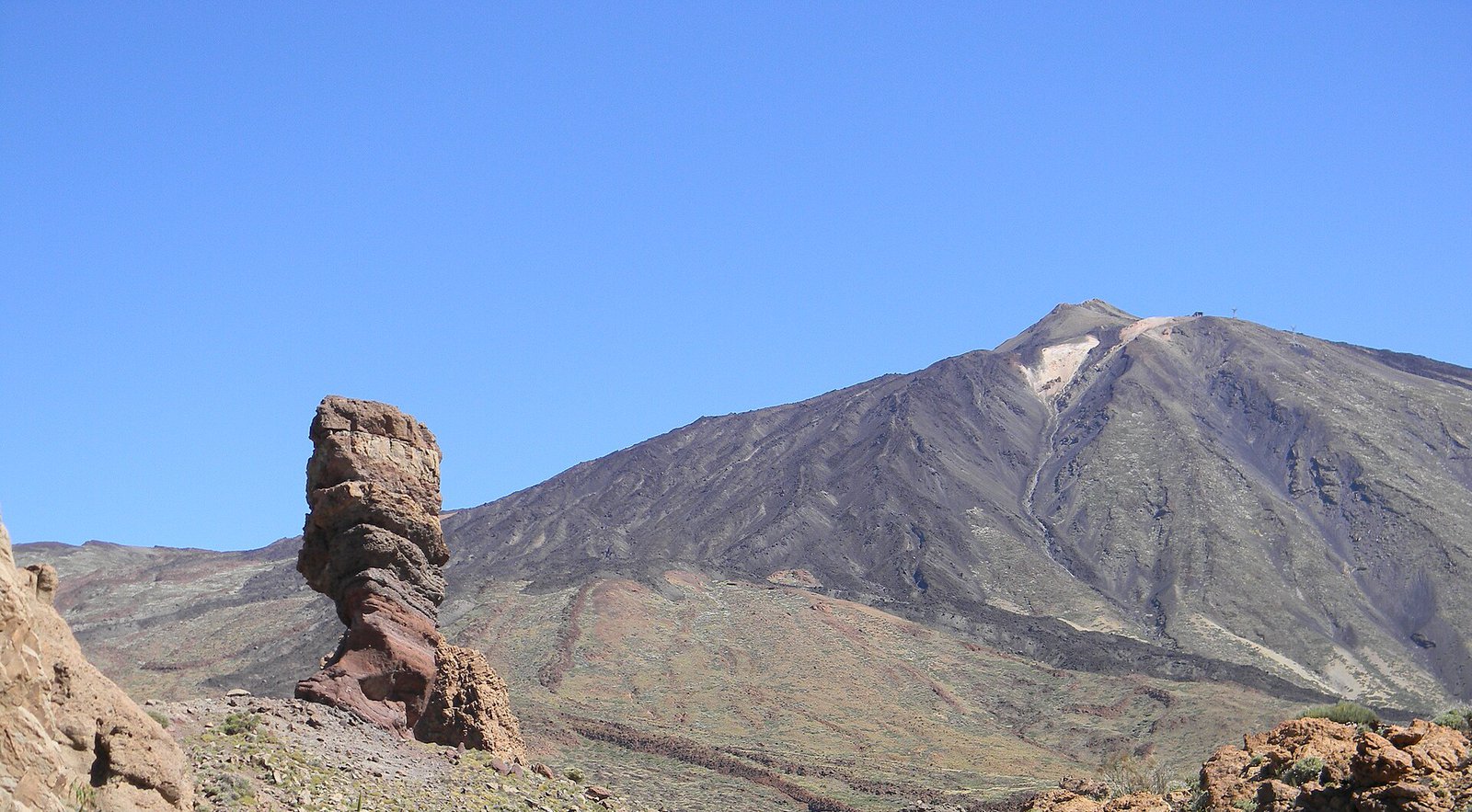
A volcanic desert at 2,000 metres, above the cloud layer — the closest thing in Europe to photographing on another planet.
À propos Teide National Park
ItinéraireThe caldera around Spain's highest mountain is a plain of ochre, rust and black rock studded with lava formations, and for most of the year you reach it by driving up through the cloud layer and coming out above it. That drive is the point: the sea of cloud below you is what makes these photographs unlike anything else in the catalogue.
The Roques de García, a group of eroded rock towers with Teide behind them, are the classic frame and the easiest to reach. Further along, the Minas de San José is a field of pale pumice that reads almost as sand dunes.
The altitude changes the light. It is harder and clearer than at sea level, shadows are very deep, and the temperature drops sharply once the sun goes — bring a layer even in August.
Meilleur moment pour photographier
Sunrise or the last hour — midday at altitude is unusably hard
Conseils
An hour and a half of mountain road from the coastal resorts. Cold and windy year-round at 2,000 m. Access to the peak cable car and certain trails needs booking; the caldera floor and the Roques do not.
Autres lieux à Tenerife
Anaga laurel forest
A prehistoric cloud forest of moss, laurel and fog in the north-east — the opposite of everything else on the island.
La playa de Benijo au coucher du soleil
Du sable volcanique noir au bout de la route d'Anaga, avec ses pitons rocheux au large et l'Atlantique qui déferle autour.
Masca — le hameau dans le ravin de Teno
Un hameau sur une crête effilée au fond d'un ravin volcanique, entouré de palmiers, de terrasses et de parois rocheuses.
Prêt à réserver ?
Notre équipe concierge choisira 2-3 photographes qui connaissent Teide National Park — gratuitement.