Foto-Spot in Teneriffa
Teide National Park
A volcanic desert at 2,000 metres, above the cloud layer — the closest thing in Europe to photographing on another planet.
Über Teide National Park
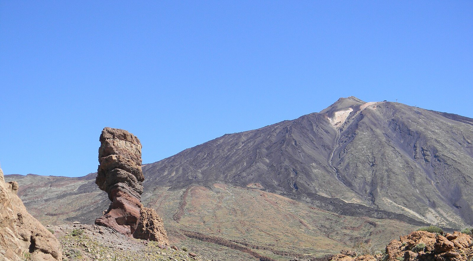
Route anzeigenThe caldera around Spain's highest mountain is a plain of ochre, rust and black rock studded with lava formations, and for most of the year you reach it by driving up through the cloud layer and coming out above it. That drive is the point: the sea of cloud below you is what makes these photographs unlike anything else in the catalogue.
The Roques de García, a group of eroded rock towers with Teide behind them, are the classic frame and the easiest to reach. Further along, the Minas de San José is a field of pale pumice that reads almost as sand dunes.
The altitude changes the light. It is harder and clearer than at sea level, shadows are very deep, and the temperature drops sharply once the sun goes — bring a layer even in August.
Beste Zeit zum Fotografieren
Sunrise or the last hour — midday at altitude is unusably hard
Tipps
An hour and a half of mountain road from the coastal resorts. Cold and windy year-round at 2,000 m. Access to the peak cable car and certain trails needs booking; the caldera floor and the Roques do not.
Weitere Orte in Teneriffa
Anaga laurel forest
A prehistoric cloud forest of moss, laurel and fog in the north-east — the opposite of everything else on the island.
Playa de Benijo bei Sonnenuntergang
Schwarzer Vulkansand am Ende der Anaga-Straße, mit Felsnadeln vor der Küste und dem Atlantik, der sich daran bricht.
Masca — das Dorf in der Teno-Schlucht
Ein Weiler auf einem messerscharfen Grat tief in einer vulkanischen Schlucht, mit Palmen, Terrassen und Felswänden auf allen Seiten.
Bereit zur Buchung?
Unser Concierge-Team wählt 2-3 Fotografen für Sie aus, die Teide National Park — kostenfrei.